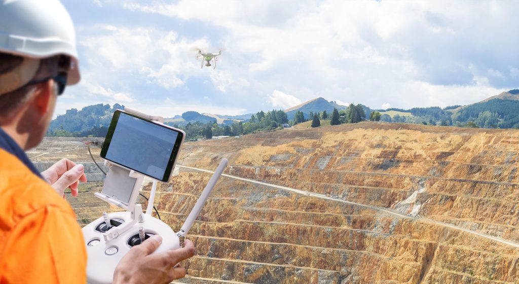
Our drone surveying and mapping services provide accurate, high-resolution data for a variety of industries and applications. Our state-of-the-art drones are equipped with advanced sensors and cameras, allowing us to capture detailed images and 3D models of your project site. Whether you need land surveying for construction planning, asset inspection for infrastructure management, or crop analysis for precision agriculture, our drone surveying and mapping services can help. Our experienced pilots and data analysts work together to provide you with comprehensive and actionable data to inform your decision-making. Our drone surveying and mapping services are fast, efficient, and cost-effective compared to traditional surveying methods. With our services, you can get up-to-date and accurate data in a fraction of the time it would take to gather data using traditional methods. We offer customizable solutions tailored to your specific needs and requirements. Our team will work with you to determine the most effective and efficient surveying and mapping approach for your project. With our drone surveying and mapping services, you can make informed decisions based on accurate and up-to-date data.